
Topographic Quadrangle Maps Gila National Forest in Southwestern New Mexico
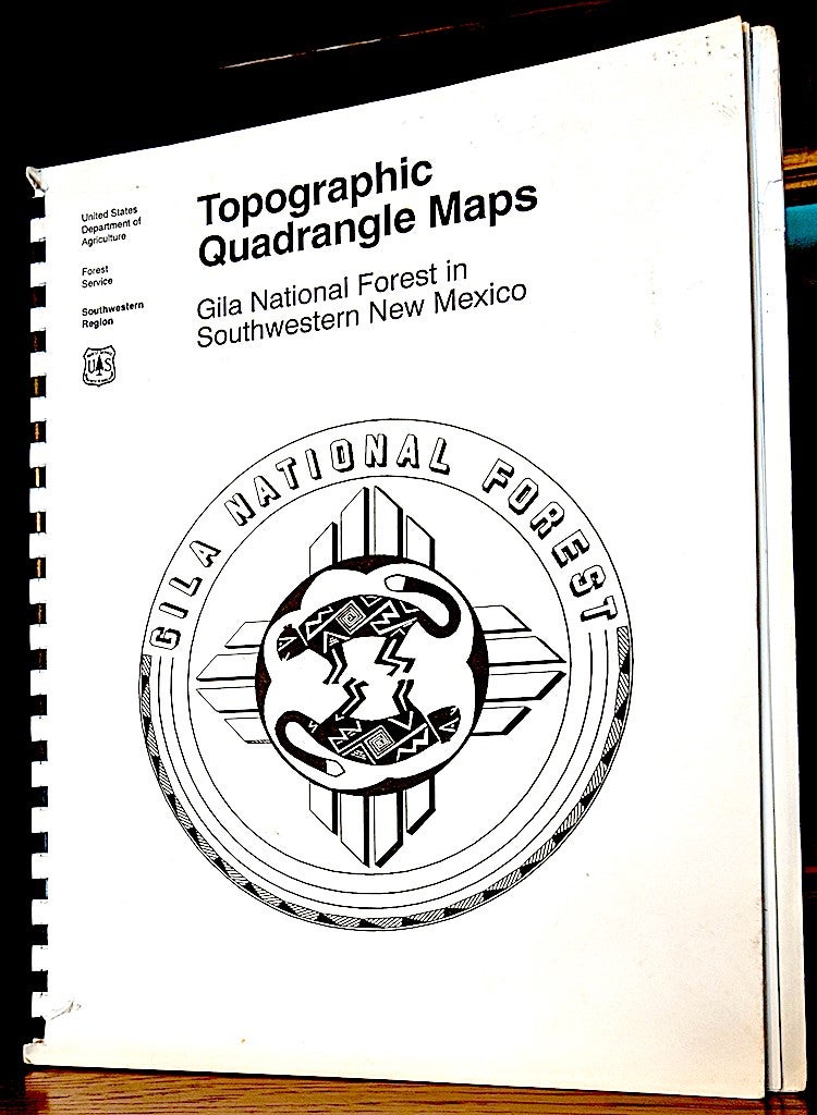
United States Department of Agriculture, 1995. Comb bound wraps. 4to., [1-3], 128 maps. -- Errata Sheets - 1996: Due to content omissions within maps contained in the 1995 edition of the Topographical Quadrangle Maps, the following revised maps sheets are provided (Laid in loose) for insertion into the original publications: O Bar O Canyon West page 48, O Bar O Canyon East, page 49, Negrito Mountain, page 58, Loco Mountain page 59, Canyon Creek Mountains page 60, Canyon Hill page 95, Dwyer page 123. -- Binding bumped at head and heel with a couple short tears. Rear cover has moderate dust stain. Very good. Item #9616
The maps in this book are the Gila National Forest's Primary Base Series 7.5 minute quadrangle maps, reduced to convenient page-size sheets. These maps provide topographic map coverage of the entire area encompassed by the Gila National Forest. These maps are comparable to U.S. Geological Survey quadrangle maps and contain additional information about Forest Service roads, trails, and other developments.
Price: $75.00