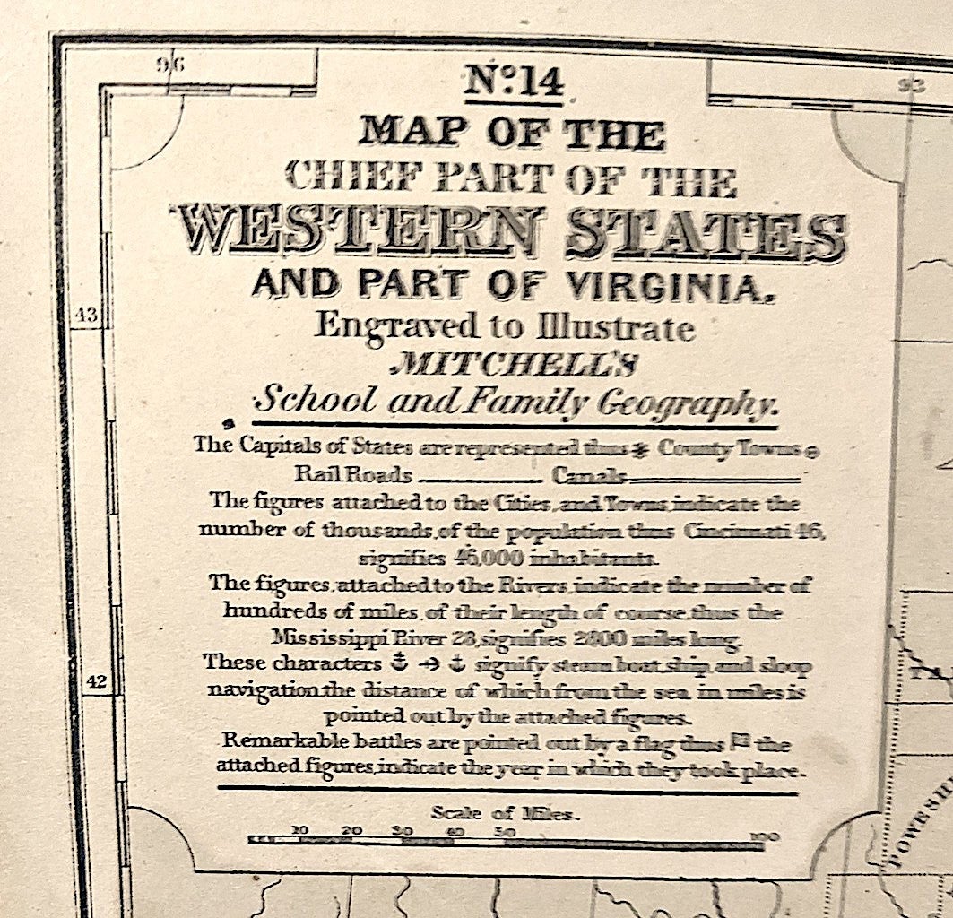
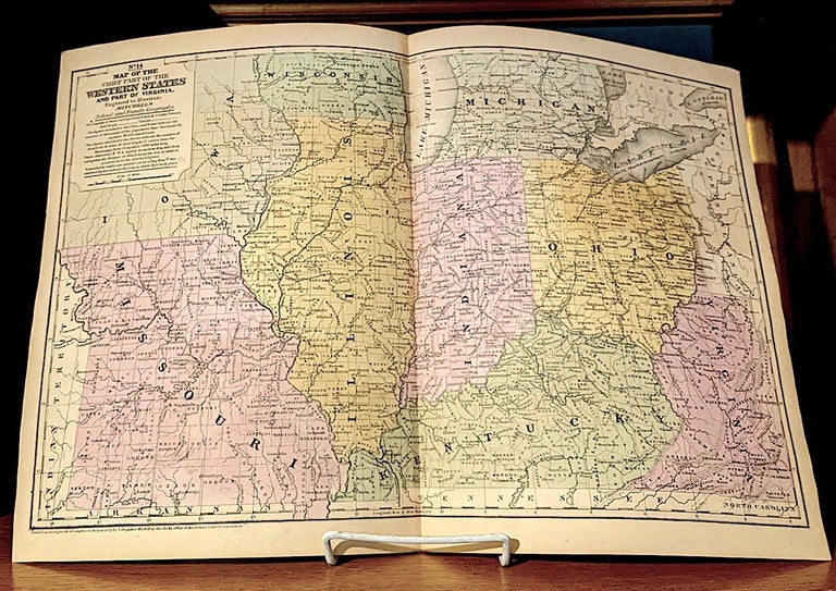
Map of the Chief Part of the Western States and Part of Virginia. Engraved to Illustrate Mitchells "School and Family Geography".
Conetticut: S. Augustus Mitchell, 1839. Image size / 10-1/2"x16-1/4", source / Mitchell's School and Family Geography, hand coulored. -- Mitchell began publication of his school atlas in 1839. This work and variant editions for older and younger students, was issued by Mitchell and his successors from 1839 to 1886. Very good +. Item #10221
"Samuel Mitchell was a school teacher frustrated with the low quality and inaccuracy of maps of the early 19th century. As a result, in the early 1830’s he began his map publishing business in an attempt to rectify the problem. During the ensuing 20 years, he became the most prominent American map publisher of the era".-mapcarte.
Price: $250.00