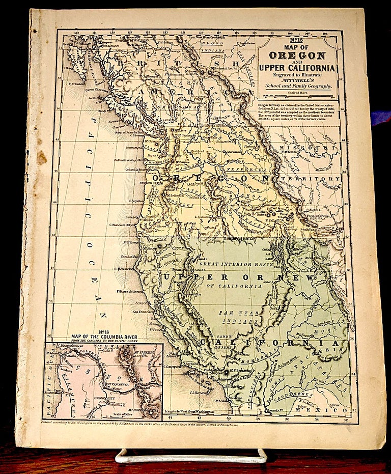
Map of Oregon and Upper California
Mitchell's School and Family Geography, 1846. Size: 10.4" x 8.0" (26.5 x 20.4 cm). -- "The smaller school atlas version of this famous map based largely on Fremont's map of 1845. Inset "Map of the Columbia River from the Cascades to the Pacific Ocean". Upper California extends eastward to the Rio Grande and Oregon Territory extends to the Continental Divide. Shows the Oregon Route in good detail as it winds from the Sweetwater River through South Pass to Oregon City. -- No notable defects. Very good +. Item #10220
Price: $450.00
See all items in
Maps,
Oregon, California
See all items by Samuel Augustus Mitchell, Map Maker