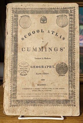
School Atlas to Cummings' Ancient & Modern Geography
Boston: Cummings & Hilliard, circa [1820]. Eighth Edition. Original wraps. Quarto., eight double-page maps of the world and continents. Map of North America shows the United States confined east of the Mississippi River, Louisiana taking in the central plains region and New Mexico incorporating Tecas. "The United States" map shows..... More